Capturing the best angles of commercial building

Using the Mavic2 Pro drone as an elevated photography platform to capture the best angle possible.

Drone photography at Ann St Brisbane.

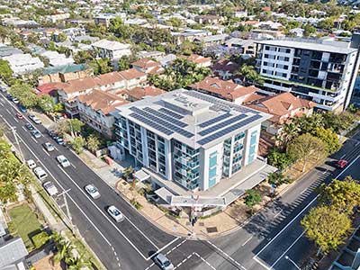
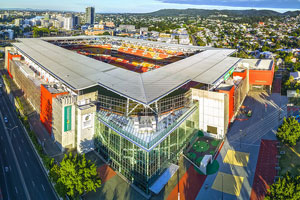
We took advantage of the break in the stormy weather Brisbane has been experiencing over the past two months and with cloudless blue skies overhead, headed out to capture drone photographs of the relatively newly built John Wardel Architects building at 900 Ann St, Fortitude Valley. 

The image is best viewed at full resolution on Flickr.
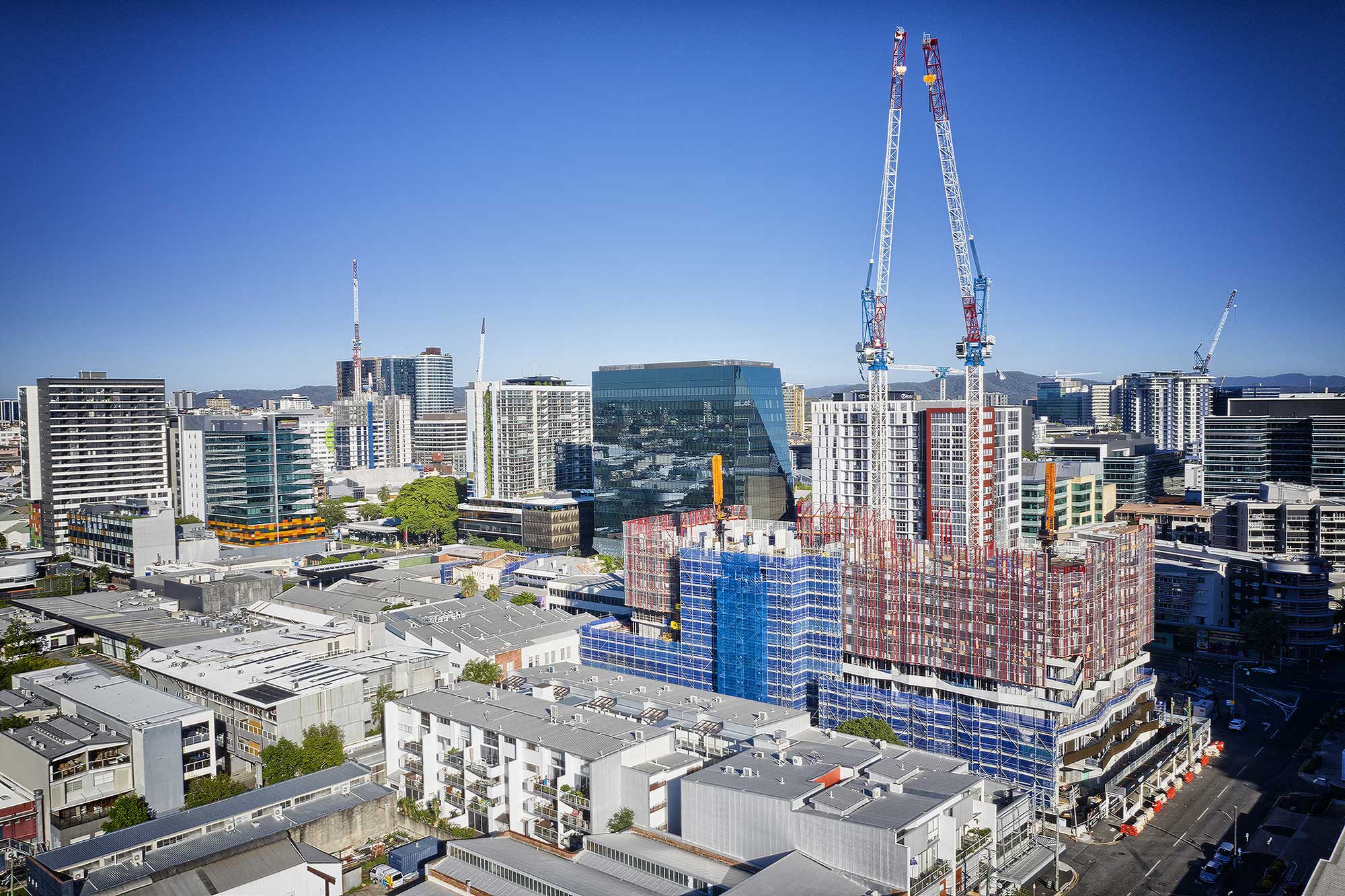
40 metres above the ground - drone photography of John Wardel Architects building on Ann St Brisbane

- Drone photography at 900 Ann St, Brisbane -

40 metres above the ground
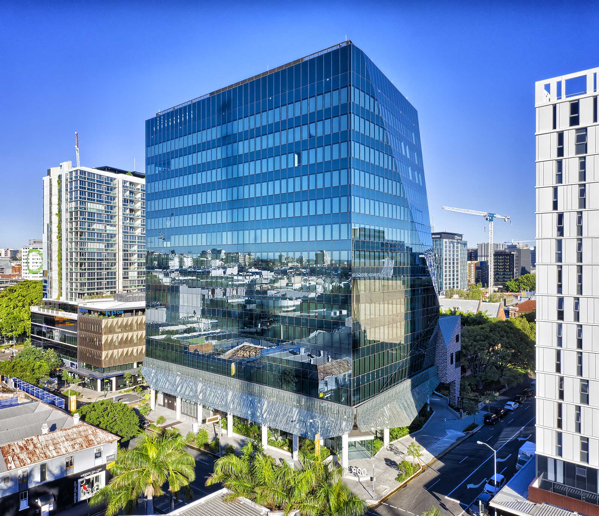
40 metres above the ground - drone photography John Wardel Architects building on Ann St Brisbane

- Drone panorama photography over Newstead -

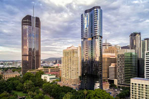
40 metres above the ground looking south towards Brisbane CBD - 3 image stitch
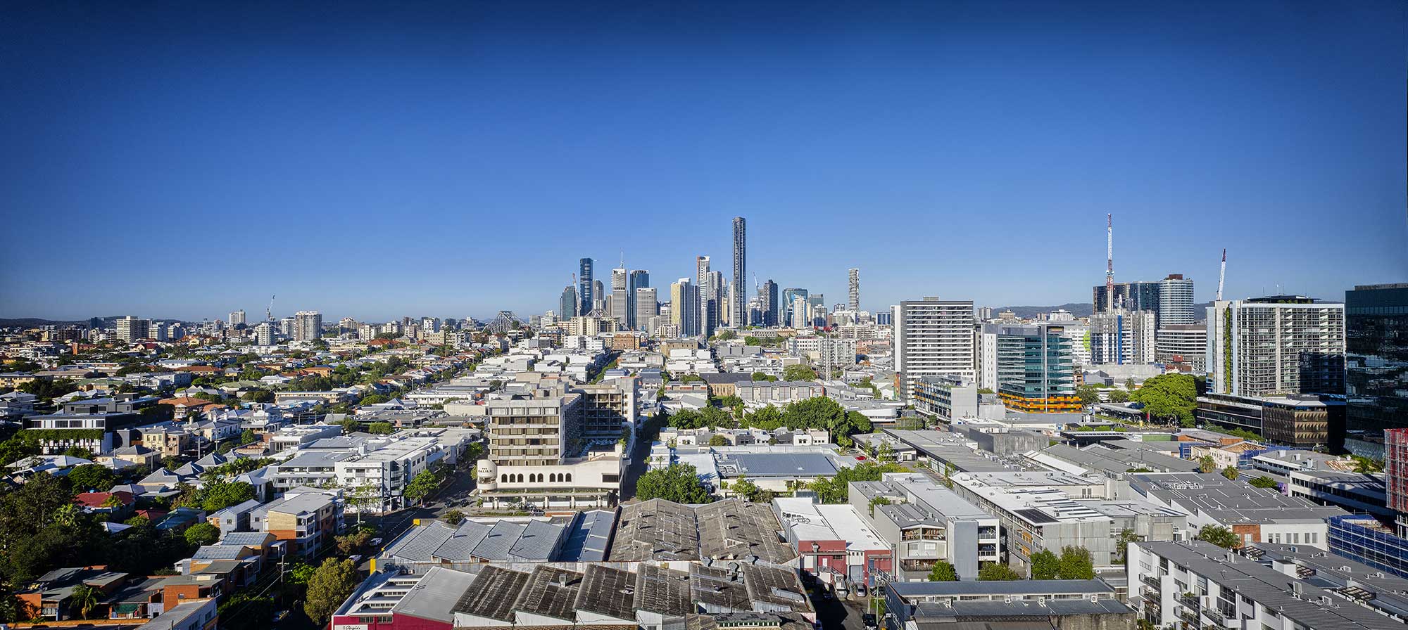
40 metres above the ground - drone photography looking towards Brisbane CBD

More Blog Posts

Drone video & photography captured around Brisbane and South East Queensland

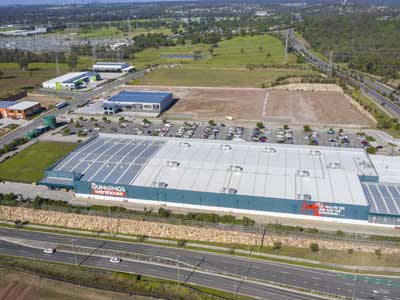
Drone photography St Lucia shopping centre

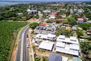
Drone photography of a St Lucia shopping centre for inclusion into an information memorandum

Roof survey for rust damage

On location at Deception Bay, north of Brisbane to survey a roof and check for rust damage using an aerial drone.

Drone Photography Acreage Real Estate at Wildsoet St, Burbank

Drone photography at 50m above the ground captures the size & layout of an acreage property for sale.

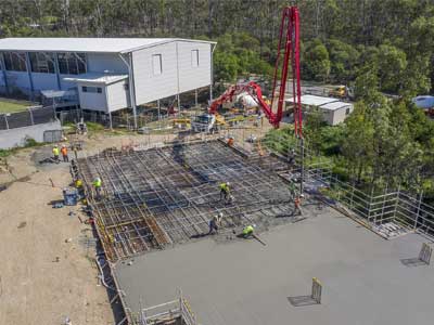
Construction site drone video for medical centre development at Helensvale

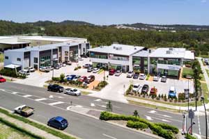
Flying the Mavic2Pro drone over a medical centre development at Helensvale to capture video footage for use in promoting and leasing the site.

South Brisbane drone photography for apartment development 3D renders

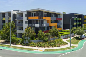
Drone photography up to 100m at South Brisbane to be used for the accurate backgrounds in 3D renders for the marketing of an apartment development.

Geospatial Drone Mapping using Consumer Drones

Quarry Drone Mapping Introduction Using consumer drones for geospatial mapping is a skill set readily available to any competent drone pilot. Drone mapping Mount Coot-tha Quarry in Brisbane was one of the first mapping projects we undertook. At DroneAce, we have been...

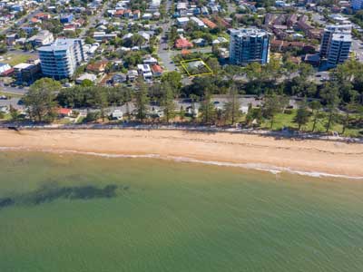
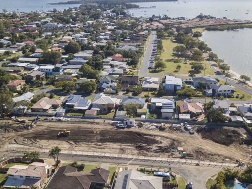
Drone photography Manly Boat Club & Redland Bay

70 metres above The Redland Bay area capturing drone video and photography.

- RECENT PROJECTS -

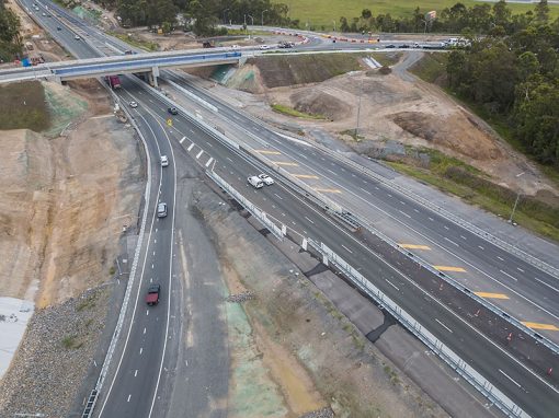
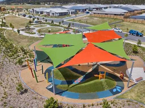
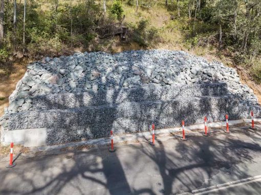
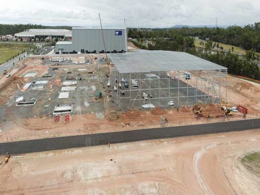
Drone photography & drone video for architecture, engineering and construction business branding
After Drone Video & Photography?
Contact DroneAce!

Call 0404 840 001 or email DroneAce today and inquire how we can help you promote your business with attention grabbing drone photography and video.

error: Alert: Content is protected !!