Drone Panorama Photography
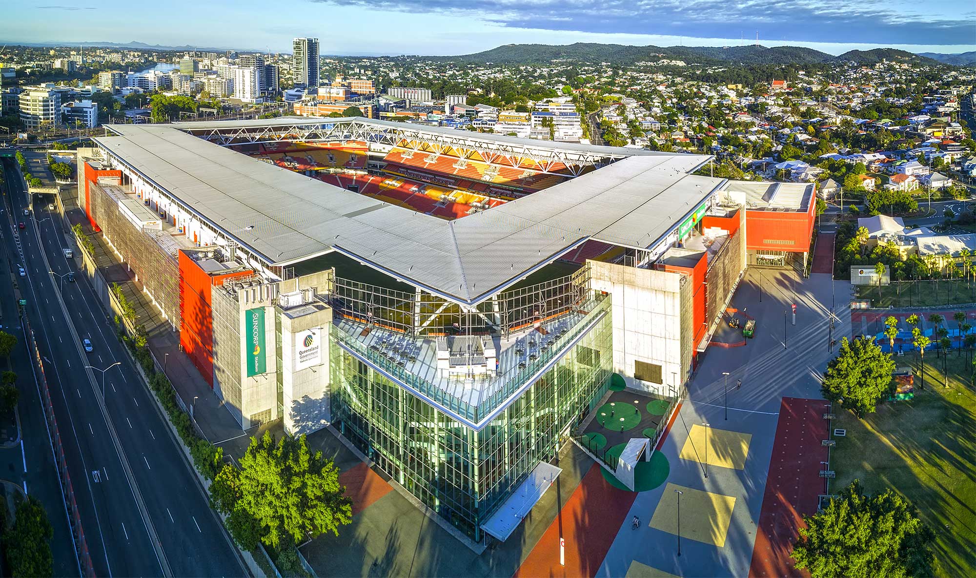
To extend the capabilities of any camera, (be it on a drone or on the ground) turn to panorama photography. Capture a sequence of images while rotating the camera and then use specialised stitching software to create a composite image. The image below is made up of 15 aerial photographs captured with the DJI MavicPro and then stitched using Autopano Giga. The whole is certainly greater than the sum of it parts.
The Gold Coast Broadwater Aerial Panorama
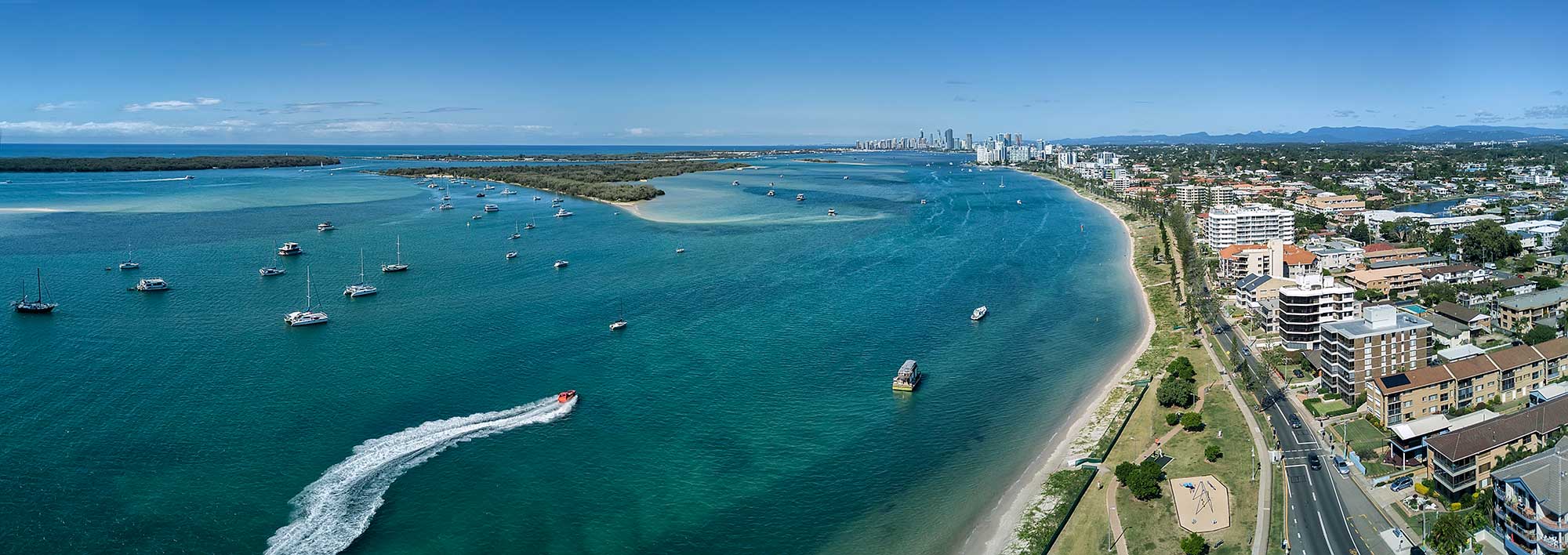
The aerial panorama below is the northern part of the Gold Coast called The Broadwater. While not part of Brisbane, we decided to include this image as one of our favorites. We used the DJI MavicPro to capture 18 overlapping photographs and then stitched them together using Autopano Giga. Despite the high winds along the coastline resulting in variations in the altitude of each photograph, the software was able produced a superb panorama.
South East Queensland Mount Barney
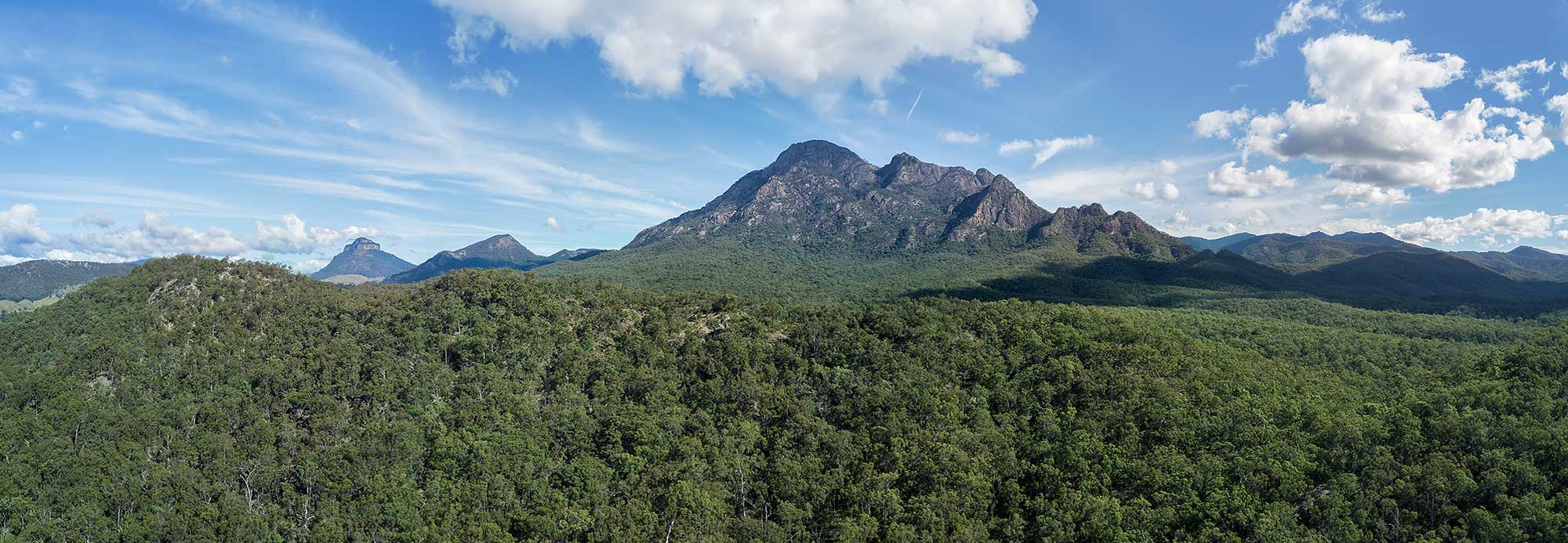
Mount Barney National Park is a national park in Queensland, 90 km southwest of Brisbane. This aerial panorama was generated from 7 photographs captured with the Mavic Pro at 110 metres above the ground and stitched using Autopano Giga.
BunyipSprings FarmStay
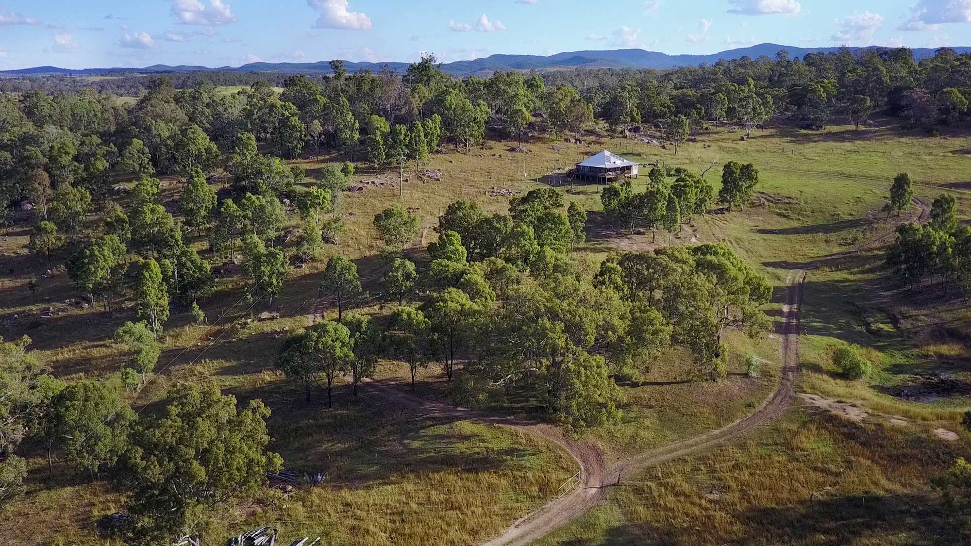
Situated at the base of the beautiful Bunya Mountains in Queensland, Australia is BunyipSprings FarmStay, a traditional century old Australian farm set on over 620 acres of farmland and native bushland. The working farm combines both dairy and beef cattle as well as an assortment of chooks, ducks and alpacas. The farm is the ideal family holiday location and provides adults and kids of all ages the chance to interact with friendly farm animals with activities including milking of the cows, feeding the animals and horse riding.
The farmstay owners were keen to utilise drone technology to promote the farm and attract more interstate and overseas visitors into the area.
Drone Real Estate Photography - Residential, Commercial & Industrial
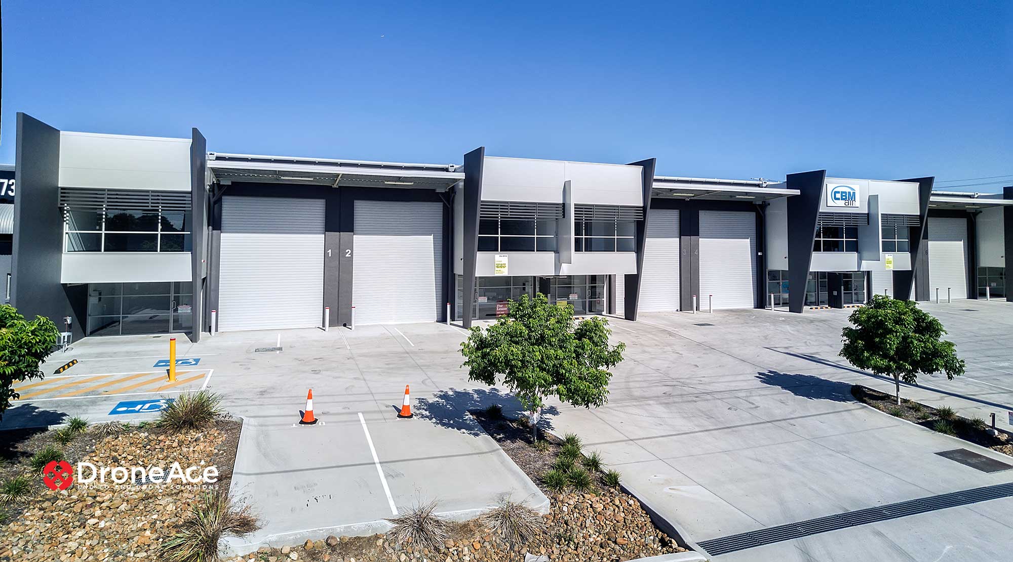
One of a number of aerial panoramas created of this Queensland commercial property for lease.
Drone Mapping & Photogrammetry
Pointclouds
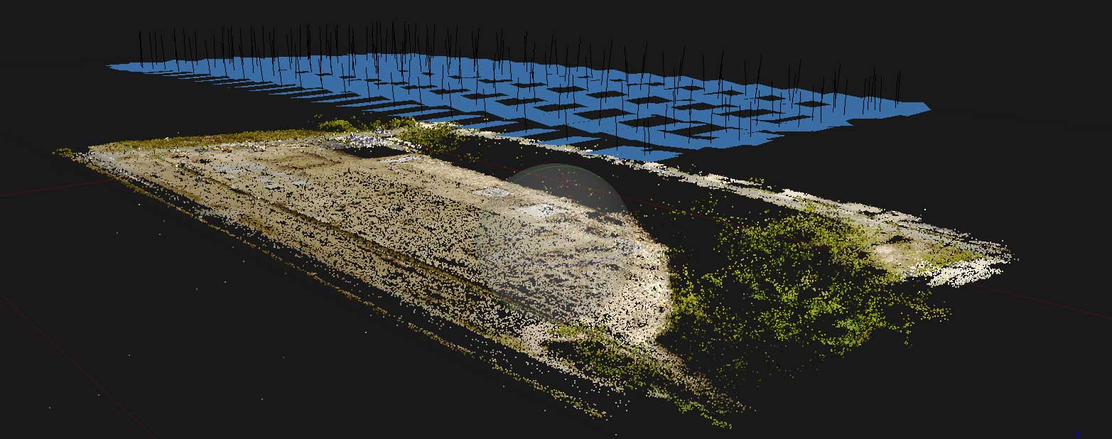
We undertook additional drone mapping trials using the MavicPro controlled using the autonomous flight control app DroneDeploy. A total of 172 images were captured, the MavicPro returning to within 1 metre of the take off / home point once the mission was completed. Agisoft Photoscan was used to do the photogrammetry, outputting a dense point cloud as below as well as a high resolution orthomosaic.
Orthomosaics
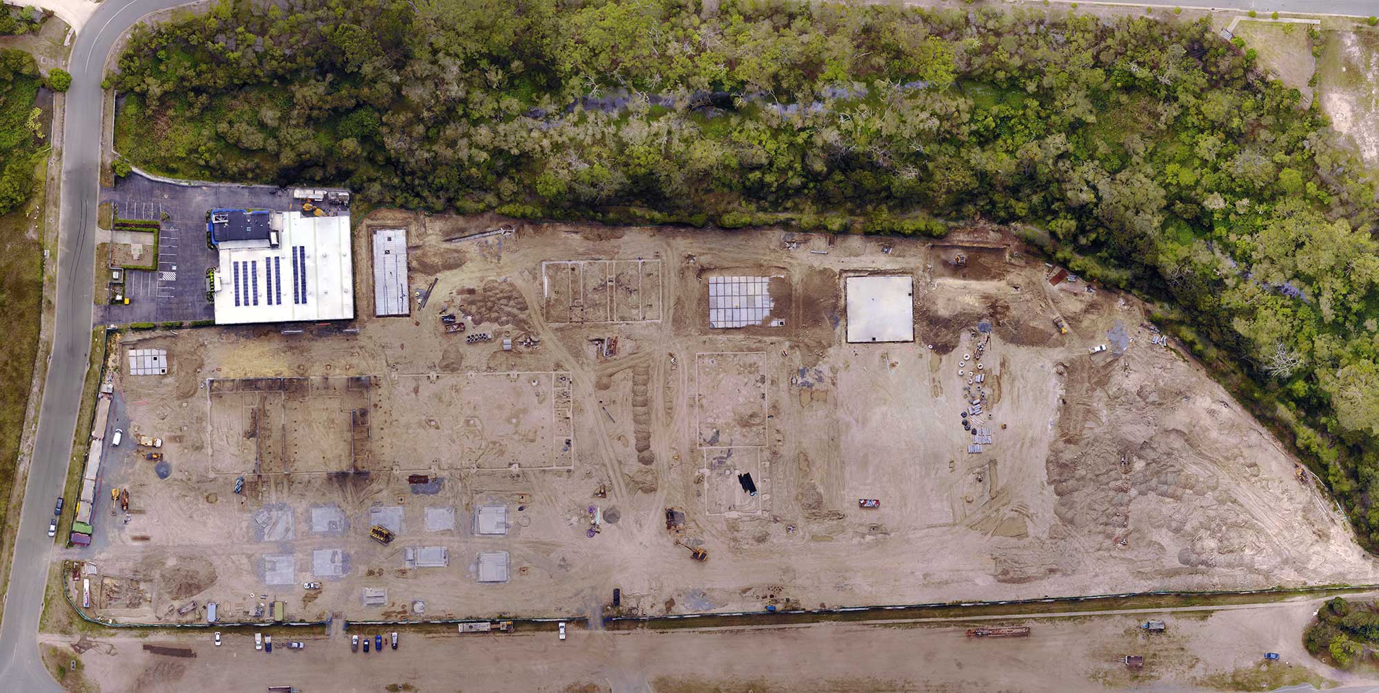
A georectified orthomosaic is a composite image made from a series of photographs that have been geometrically corrected (no perspective distortion) giving it a uniform scale. Orthomosaics are used in GIS applications as map backgrounds, for markups and included in up-to-date progress reports. Stitching programs like Autopano Gig do not take into account perspective distortion and therefore cannot be used get accurate distance measurements. The orthomosaic below has a ground sampling distance of 2.5cm/pixel and measures 22,000 pixels by 11,500 pixels.
