Capturing the Rosewood library concrete slab pour

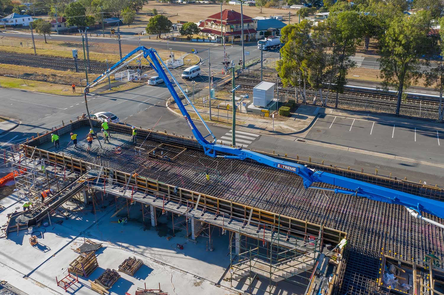
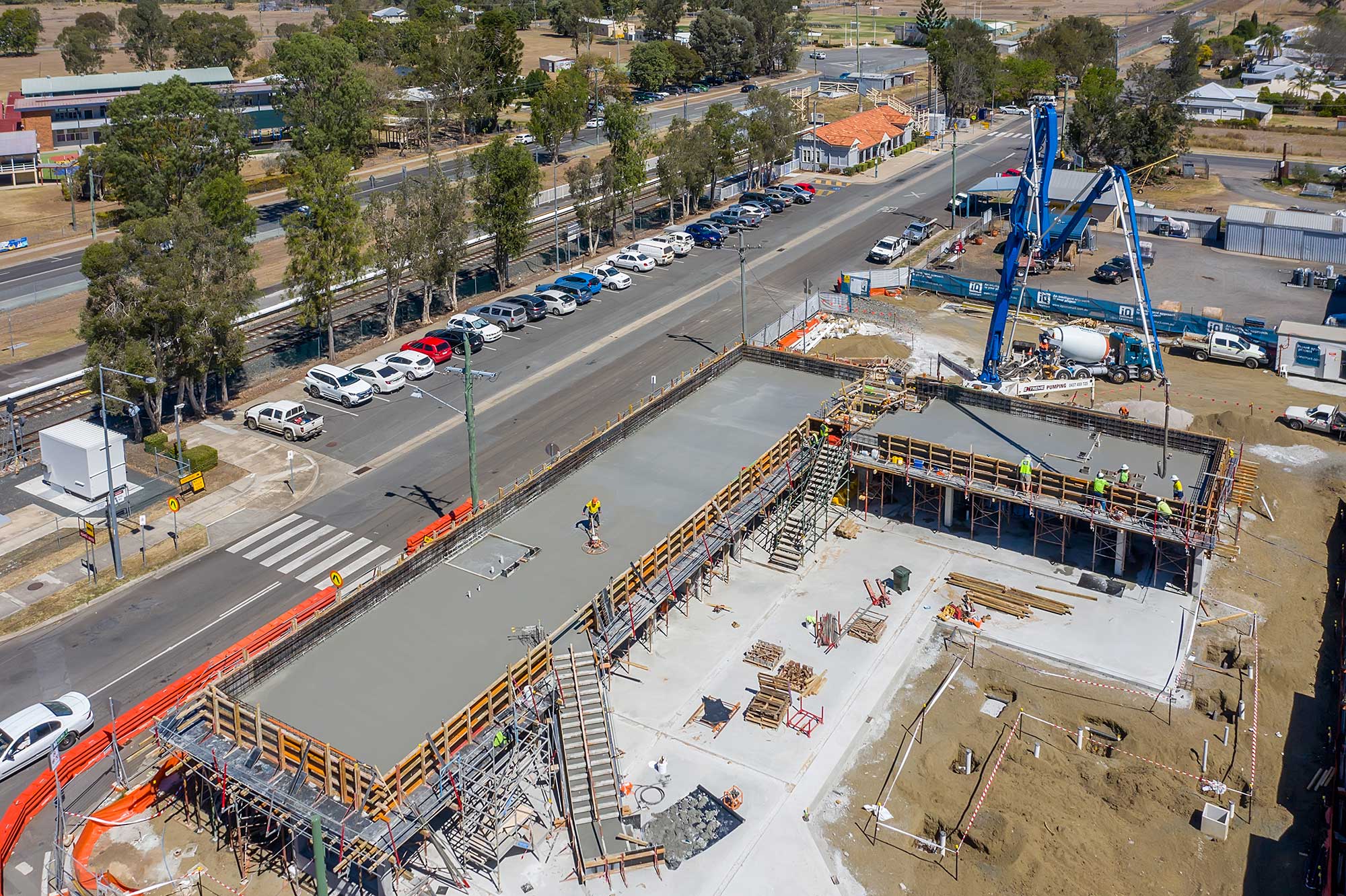
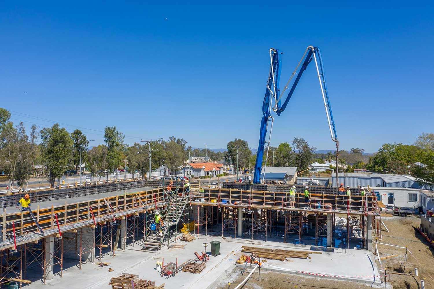
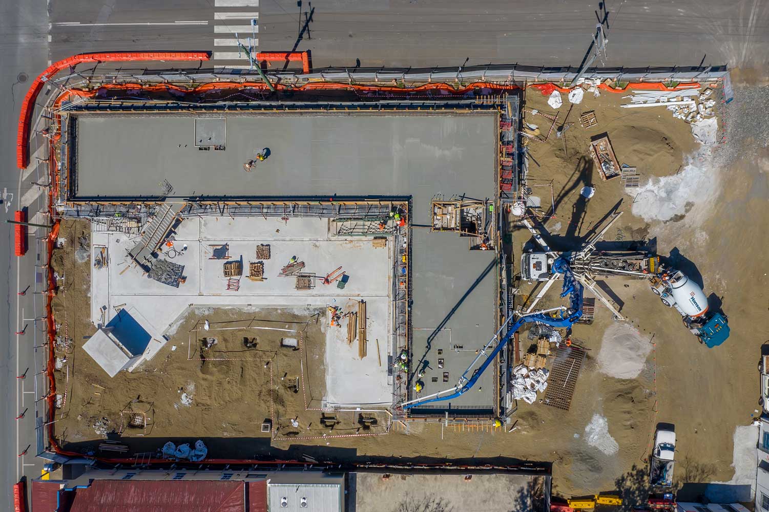
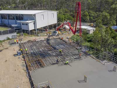
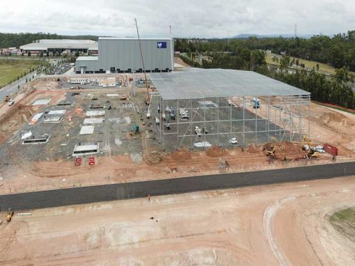
Drone photography of the mezzanine level concrete slab pour underway at the Rosewood library construction project

Capturing the mezzanine floor concrete slab pour for the Rosewood library construction project

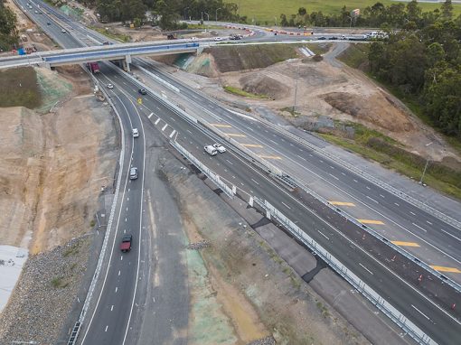
DroneAce were back on site at Rosewood to capture additional footage of the library construction project. We capture over twenty images and numerous 4K video clips at heights ranging from 6 metres to 100 metres covering the beginning of the slab pour to the end.

For more information on the project, call Phil on 0404 840 001.
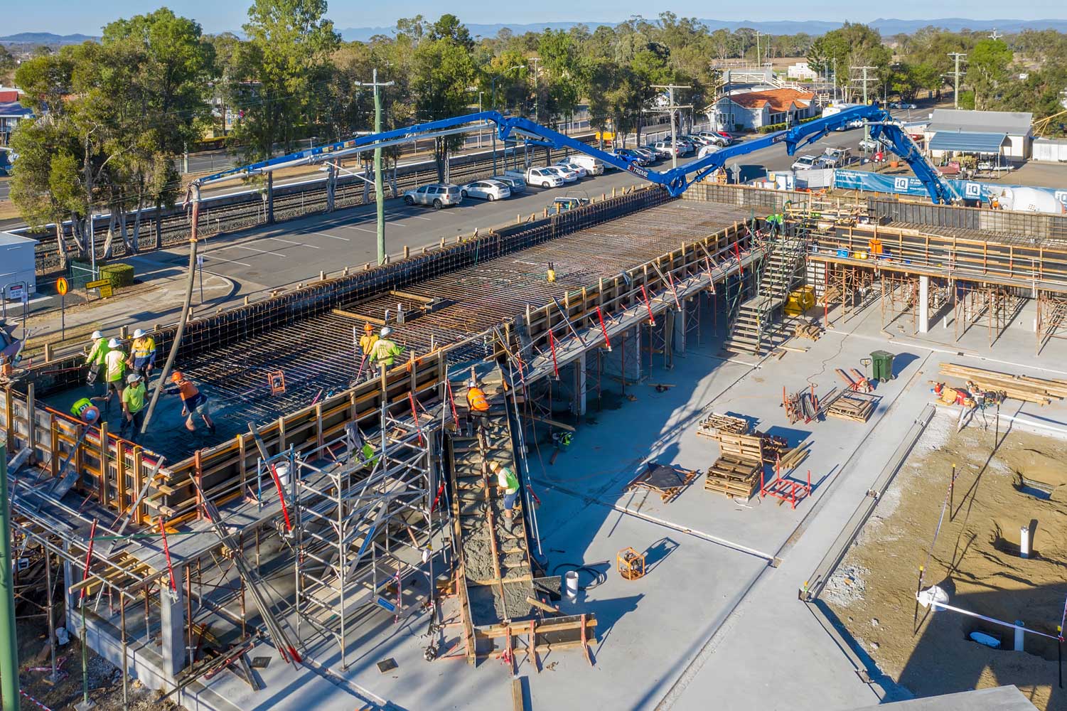
Drone photography update at Rosewood library construction project

For more information about the project, please call Phil @ DroneAce on 0404 840 001

More Blog Posts

Drone video & photography captured around Brisbane and South East Queensland

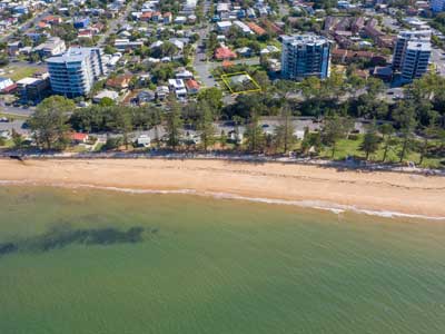
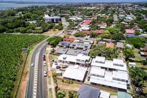
Drone Photography Acreage Real Estate Sandpiper Drive Jimboomba

Capture the size, boundaries & built structures on large acreage properties for sale in one photograph.

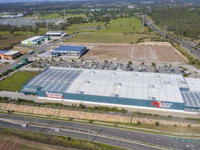
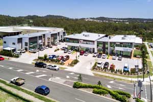
Drone photography of large format commercial building at Bundall

Capturing a range of drone photographs for a large format building for lease for Transact Capital.

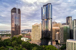
Drone Photography Brisbane April 2017

Some of our favorite Brisbane & Gold Coast drone photographs captured during April 2017. We used the MavicPro as a flying tripod for the following landscape and cityscape photographs due to its low noise characteristics, small footprint and ease of use. Drone...

360 degree drone panorama over Richlands Brisbane

Using the Mavic2Pro drone 50m above a future development site at Richlands.

Drone video of concrete slab pour at Augusta State School

Drone video, photography and 360 degree panoramas of the second stage of the concrete slab pour at Augusta State School using the Mavic2Pro drone

BunyipSprings Farmstay Drone Video

BunyipSprings Farm Situated at the base of the beautiful Bunya Mountains in Queensland, Australia is BunyipSprings FarmStay, a traditional century old Australian farm set on over 620 acres of farmland and native bushland. The working farm combines both dairy and...

Geospatial Drone Mapping using Consumer Drones

Quarry Drone Mapping Introduction Using consumer drones for geospatial mapping is a skill set readily available to any competent drone pilot. Drone mapping Mount Coot-tha Quarry in Brisbane was one of the first mapping projects we undertook. At DroneAce, we have been...

- RECENT PROJECTS -

Drone photography & drone video for architecture, engineering and construction business branding
After Drone Video & Photography?
Contact DroneAce!

Call 0404 840 001 or email DroneAce today and inquire how we can help you promote your business with attention grabbing drone photography and video.

error: Alert: Content is protected !!