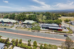
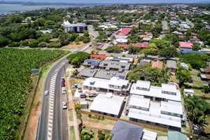
Drone photography of an acreage property @ Flagstone
Flying the Mavic2Pro drone over an acreage listing at Flagstone capturing high quality photography for an online marketing campaign.
Drone photography of a home for sale at Sugar Gum Court,Flagstone.
DroneAce was again contacted by real estate agent Elders Jimboomba to capture aerial drone photographs of a home for sale at Sugar Court Flagstone plus take 20 ground photographs of the inside and outside living areas as part of the marketing package.
Our aerial drone and ground photography packages provide for 20 ground images for $200 plus GST and up to 5 drone photographs for an additional $100 plus GST which represents very good value for money.
We have undertaken similar acreage real estate marketing photography for Elders at a number of locations around Jimboomba including 39 Dover Court Flagstone, Millstream Rd Cedar Vale and 79 Paula Rd South Maclean, all incorporating a range of aerial and ground photography. Closer to Brisbane, we recently captured aerial drone photography of acreage property at Wildsoet Rd, Burbank.
The DroneAce Projects page and Gallery page also include samples of aerial photography and video of homes for sale.

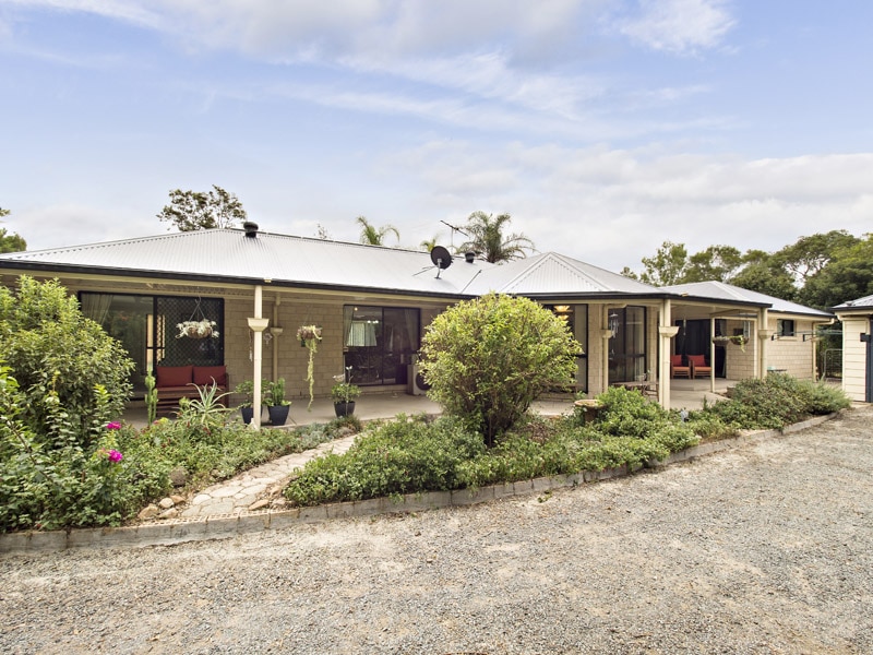
- Aerial drone photography of Flagstone acreage real estate -
Flying the drone 20 metres above the ground focusing on the layout of the home & location of sheds
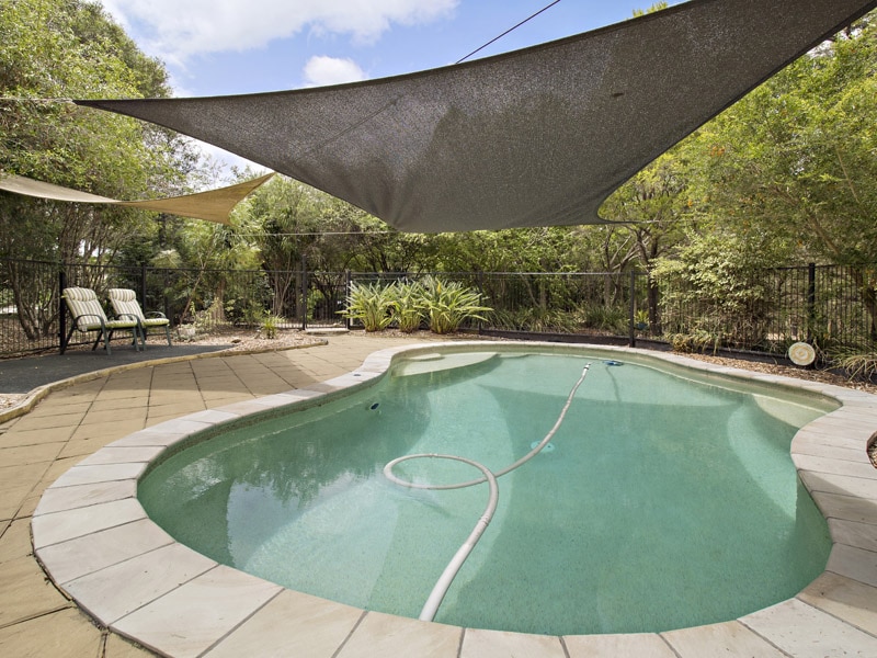
- Aerial drone photography of acreage real estate -
Capturing the location of the pool with respect to the home
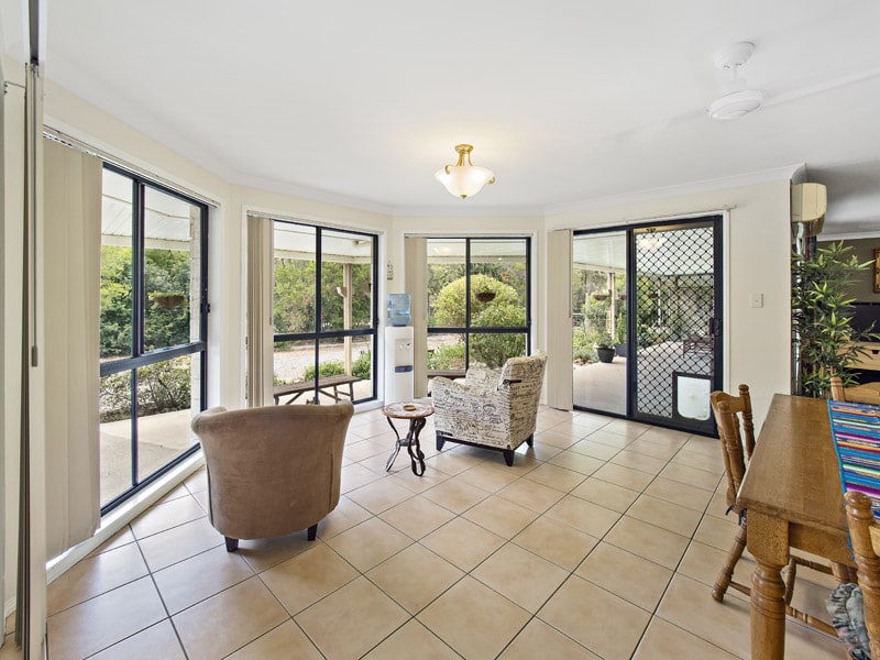
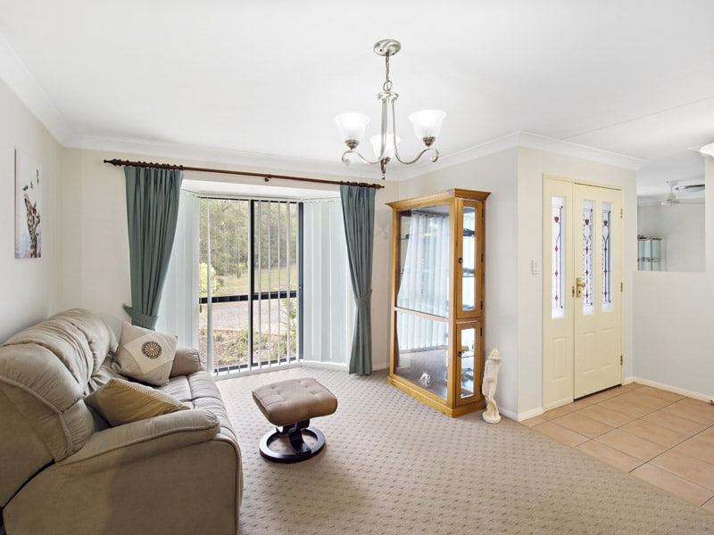
Real Estate Photography – on the ground at Flagstone
DroneAce operator Phil Savory is an accomplished real estate photographer with over 4 years experience photographing people’s homes for sale in and around Brisbane. See more real estate photography at his website Phil Savory Photography.
More Blog Posts
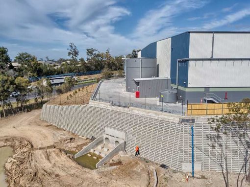
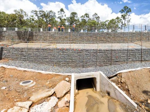
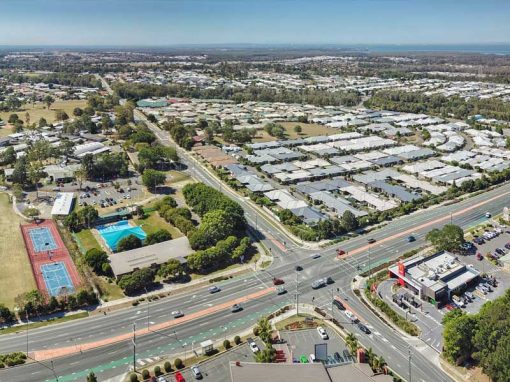
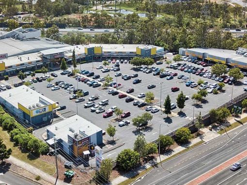
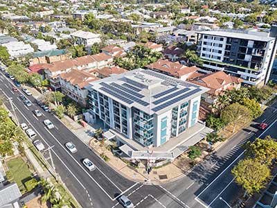
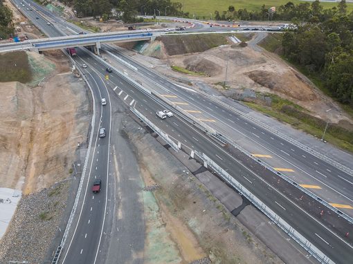
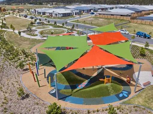
Drone video & photography captured around Brisbane and South East Queensland- RECENT PROJECTS -
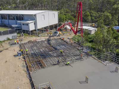
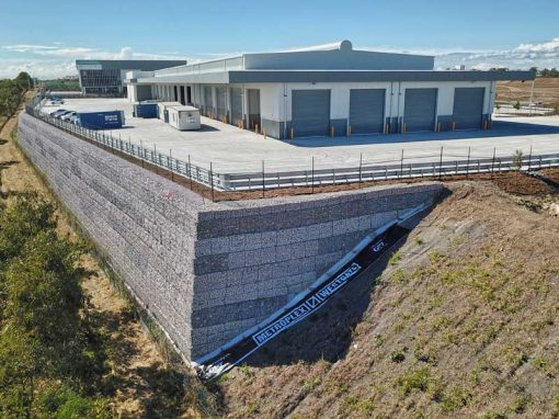
Drone photography & drone video for architecture, engineering and construction business branding
After Drone Video & Photography?
Contact DroneAce!
Call 0404 840 001 or email DroneAce today and inquire how we can help you promote your business with attention grabbing drone photography and video.