Drone photography @ Bundall – The Gold Coast 

Capturing a range of drone photographs for a large format building for lease for Transact Capital.

Drone photography at Bundall, The Gold Coast.

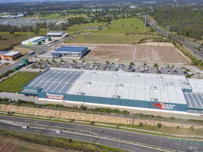
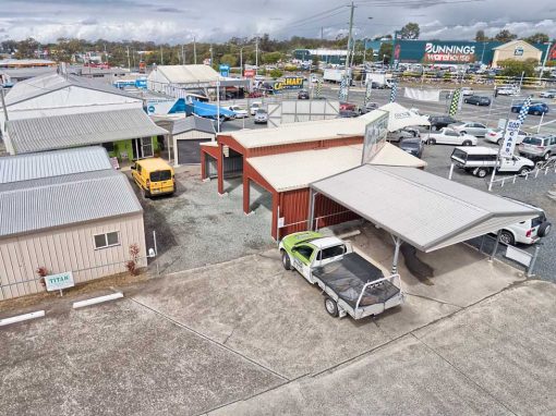
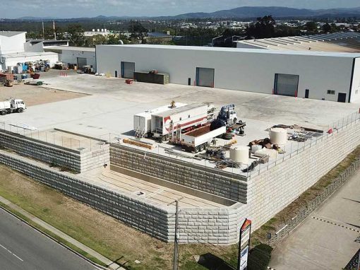
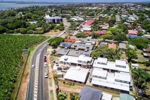
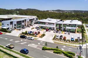
DroneAce’s latest assignment was to capture drone photography of a large format commercial building at Upton St, Bundall on the Gold Coast. We took a number of drone photographs at various heights and angles from 10-50 metres highlighting the proximity of the location to Southport and Surfer’s Paradise. All drone photographs on the shoot were captured using exposure bracketing techniques and then combined to produce High Dynamic Range Images ensuring details are preserved in the shadow areas as well as the highlights, such as the rooftops and clouds
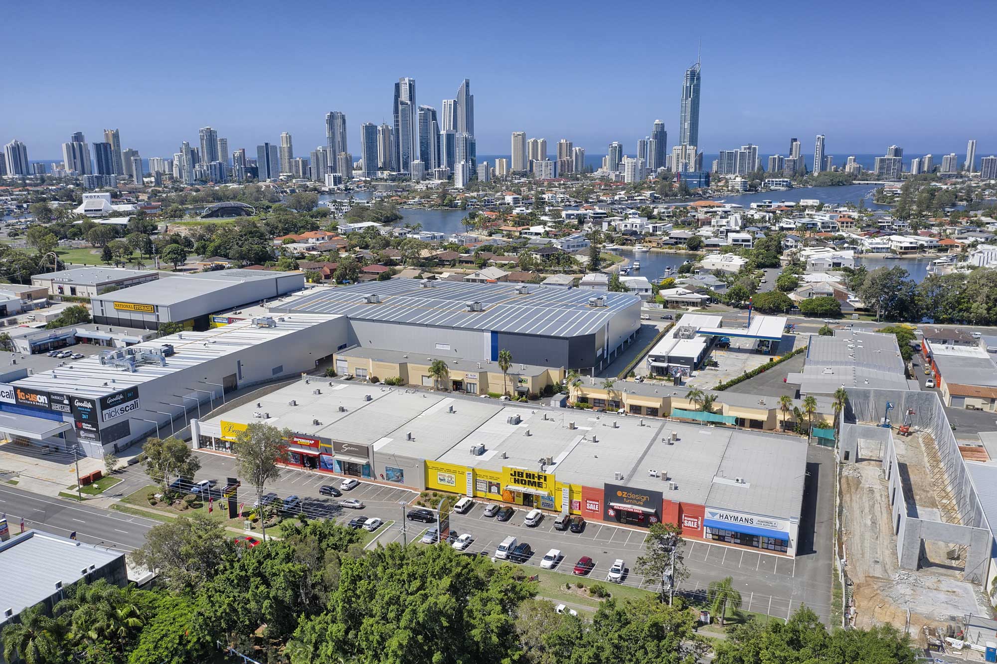
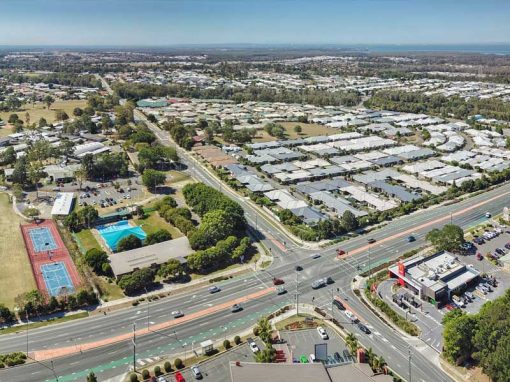
40 metres above the ground - drone photography of large format commercial building at Upton St, Bundall

- Drone photography at Upton St -

40 metres above the ground highlighting the proximity to Surfers Paradise and Southport
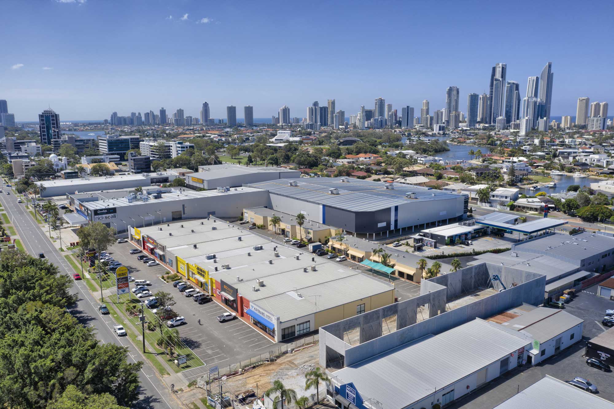
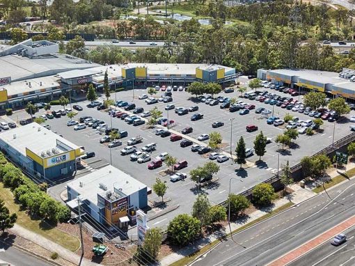
40 metres above the ground - drone photography of large format commercial building at Upton St, Bundall

- Drone photography at Upton St -

15 metres above the ground focusing in on the building in question
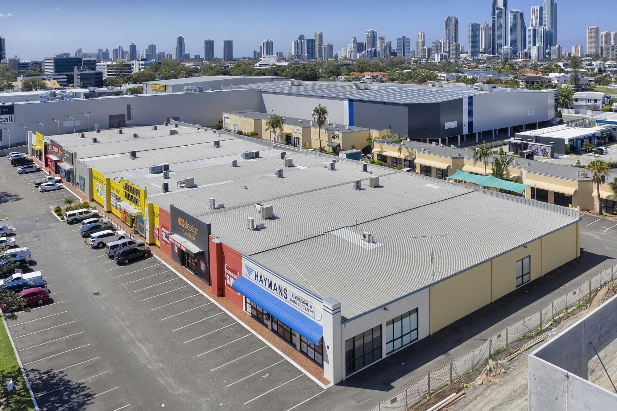
15 metres above the ground - drone photography of large format commercial building at Upton St, Bundall

- Drone photography at Upton St -

Drones provide a safe & rapid means to acquire photographs at multiple heights.
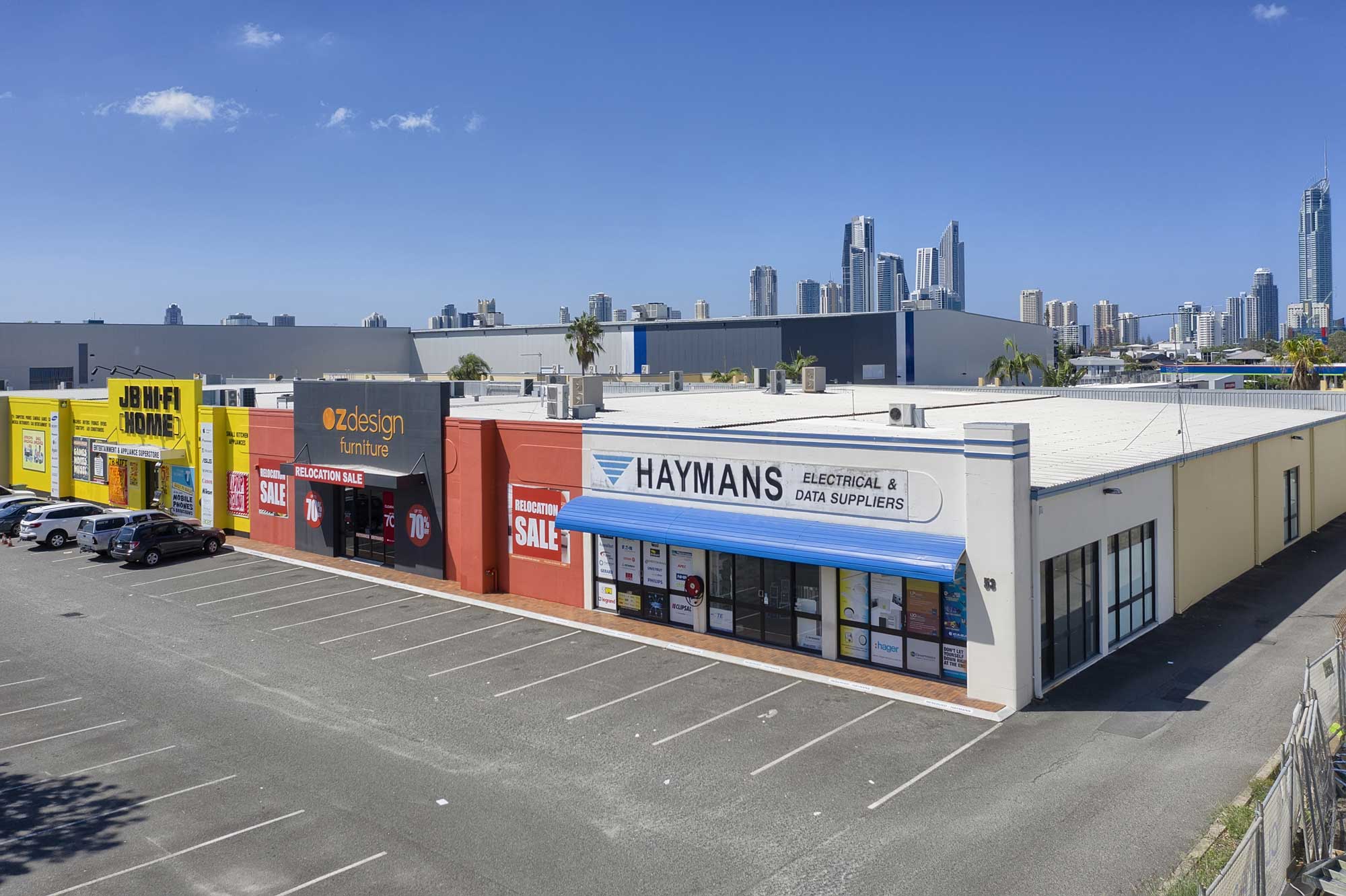
10 metres above the ground - drone photography of large format commercial building at Upton St, Bundall

- Drone photography at Upton St -

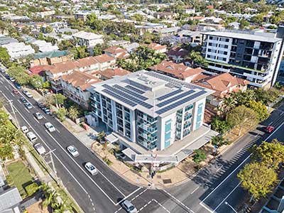
Looking south towards Broadbeach and Burleigh Heads
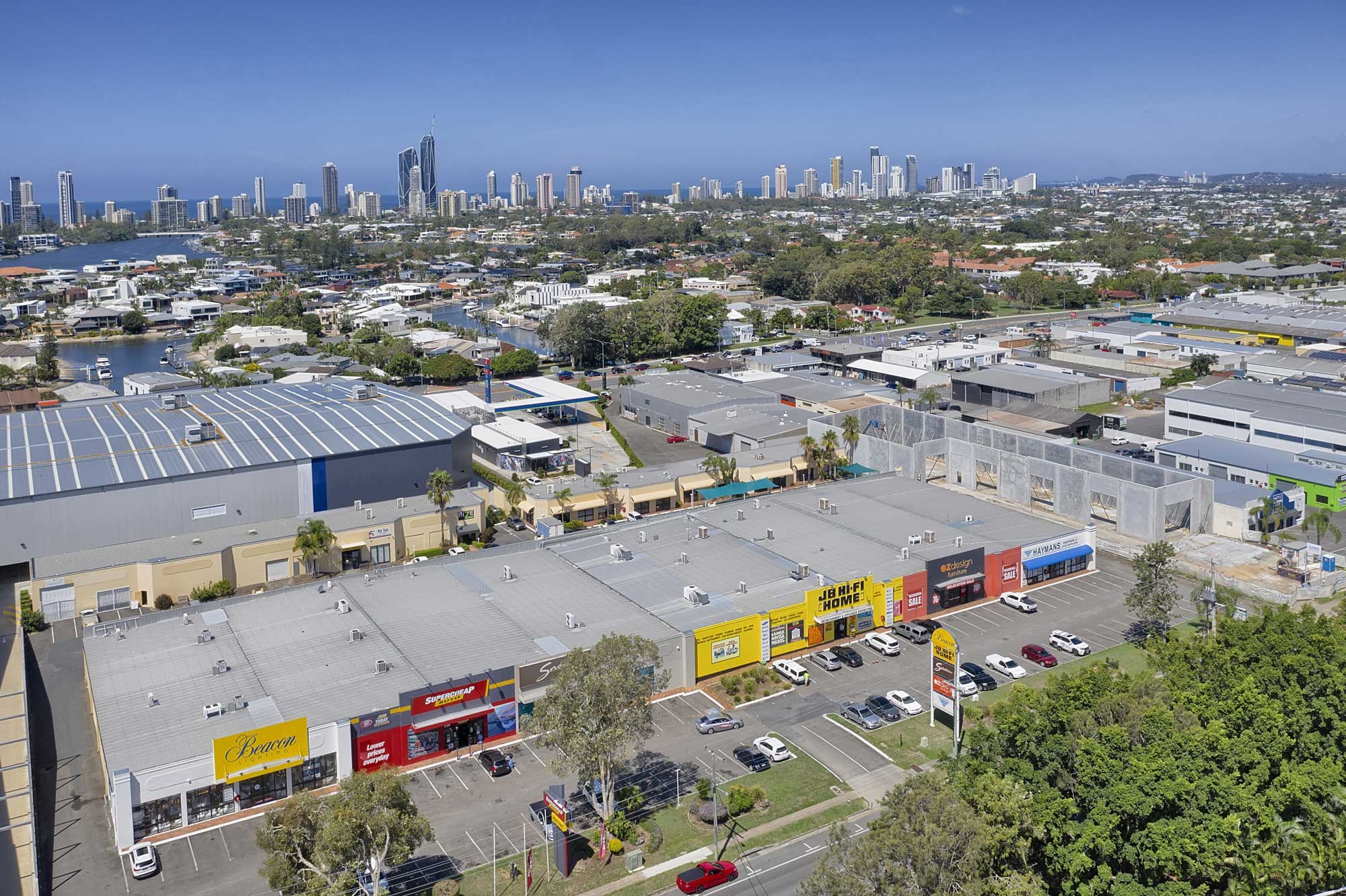
40 metres above the ground - drone photography of large format commercial building at Upton St, Bundall

More Blog Posts

Drone video & photography captured around Brisbane and South East Queensland

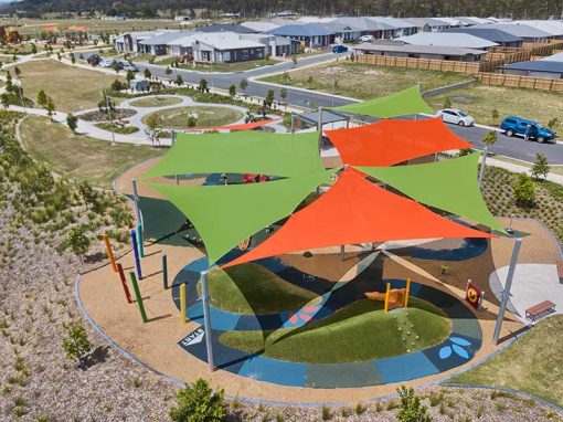
Drone video of large shade structure over council park

Promo video for Brisbane Shade and Sail P/L highlighting a large shade structure they recently completed over a council park.

360 degree drone panorama over Richlands Brisbane

Using the Mavic2Pro drone 50m above a future development site at Richlands.

Drone Mapping

What is Drone Mapping Drone mapping is using a camera equipped fixed wing or rotary wing drone also known as a  UAV or UAS in conjunction with an autonomous flight controller application on a tablet, smartphone or laptop to acquire data via a sequence of images...

Geospatial Drone Mapping using Consumer Drones

Quarry Drone Mapping Introduction Using consumer drones for geospatial mapping is a skill set readily available to any competent drone pilot. Drone mapping Mount Coot-tha Quarry in Brisbane was one of the first mapping projects we undertook. At DroneAce, we have been...

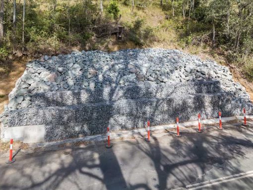
Aerial Photography Concrib Gabion Wall 17 Mile Rocks, Parklands Brisbane

Flying the MavicPro drone around a gabion wall constructed by Concrib Pty Ltd at a park at 17 Mile Rocks.

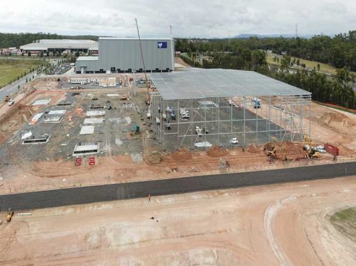
Drone photography of large format commercial building at Bundall

Capturing a range of drone photographs for a large format building for lease for Transact Capital.

Augusta State School Completion Drone Video

Aerial drone video & photography of the newly completed classrooms at Augusta State School.

- RECENT PROJECTS -

Drone photography & drone video for architecture, engineering and construction business branding
After Drone Video & Photography?
Contact DroneAce!

Call 0404 840 001 or email DroneAce today and inquire how we can help you promote your business with attention grabbing drone photography and video.

error: Alert: Content is protected !!