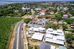
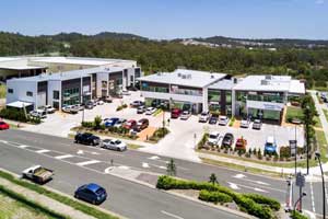
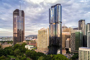
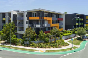
Drone photography to establish balcony views

Using a drone to find out what the views will look like for a new home to be built at St Lucia.

Drone photography & 360 panorama photography @ St Lucia

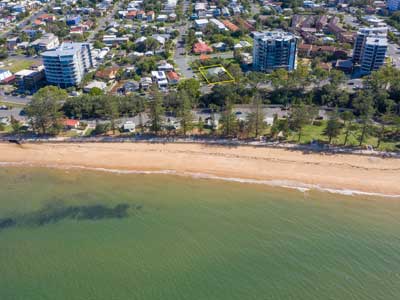
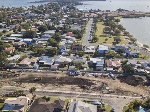
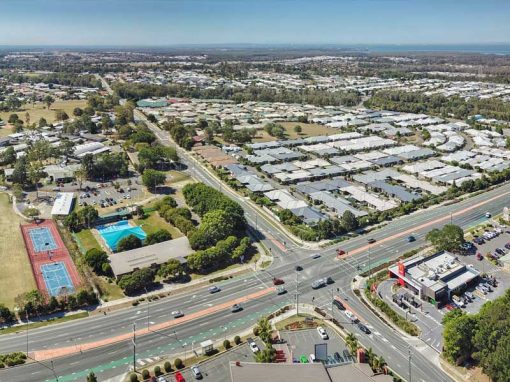
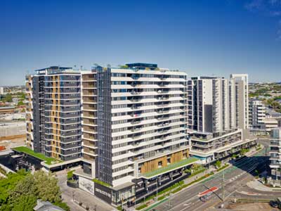
Apart for the versatility of a drone to be able to fly to a multitude of heights and vantage points, they also offer a variety of visual assets they are able to capture of surrounding areas. For a property sub division and new home to be built at St Lucia, Brisbane, DroneAce captured a range of panorama photographs and a 360 drone panorama from 6.1 metres above the ground to establish the views from the front and rear balconies after completion.

If you are looking for a drone photographer or drone videographer who specialises in photographing and filming using drones then call Phil at DroneAce on 0404 840 001 or email info at droneace.com.au

6.1 metres above the ground - using a drone to establish balcony views

More Blog Posts

Drone video & photography captured around Brisbane and South East Queensland

Roof survey for rust damage

On location at Deception Bay, north of Brisbane to survey a roof and check for rust damage using an aerial drone.

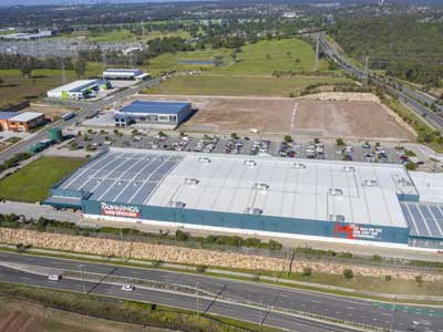
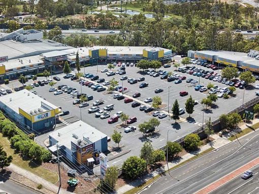
Drone photography for Southport shopping centre

Dusk drone photography for 501 Upton St Southport shopping centre

Drone Photography Acreage Real Estate at Wildsoet St, Burbank

Drone photography at 50m above the ground captures the size & layout of an acreage property for sale.

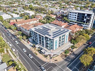
Using a drone to photograph balcony views of a home to be constructed

On location at St Lucia to establish what the views will look like from the balconies of a new home under construction using a drone & 360 panorama photography.

Drone Photography Acreage Real Estate Sandpiper Drive Jimboomba

Capture the size, boundaries & built structures on large acreage properties for sale in one photograph.

360 degree drone panorama over Richlands Brisbane

Using the Mavic2Pro drone 50m above a future development site at Richlands.

Drone Mapping

What is Drone Mapping Drone mapping is using a camera equipped fixed wing or rotary wing drone also known as a  UAV or UAS in conjunction with an autonomous flight controller application on a tablet, smartphone or laptop to acquire data via a sequence of images...

- RECENT PROJECTS -

Drone photography & drone video for architecture, engineering and construction business branding
After Drone Video & Photography?
Contact DroneAce!

Call 0404 840 001 or email DroneAce today and inquire how we can help you promote your business with attention grabbing drone photography and video.

error: Alert: Content is protected !!