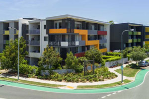
Drone Photography @ 37 Marine Parade Redcliffe

Onsite capturing drone photography, drone video and 360 panoramas for a new apartment to be built.

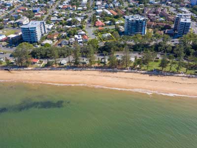
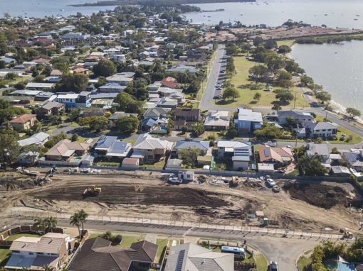
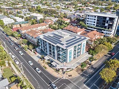
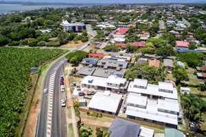
Drone photography 37 Marine Parade Redcliffe Development Site

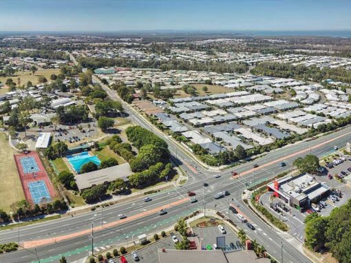
Capturing a variety of drone photographs from 40m-70m plus a 360 drone panorama for a future residential apartment block development site. We had to wait for the perfect day and then photograph with no clouds over head to ensure the ocean looked a natural vivid blue.  Stay tuned for a full project post.

If you are looking for a drone photographer or drone videographer who specialises in the Architecture, Engineering and Construction industries then call Phil at DroneAce on 0404 840 001 or email info at droneace.com.au
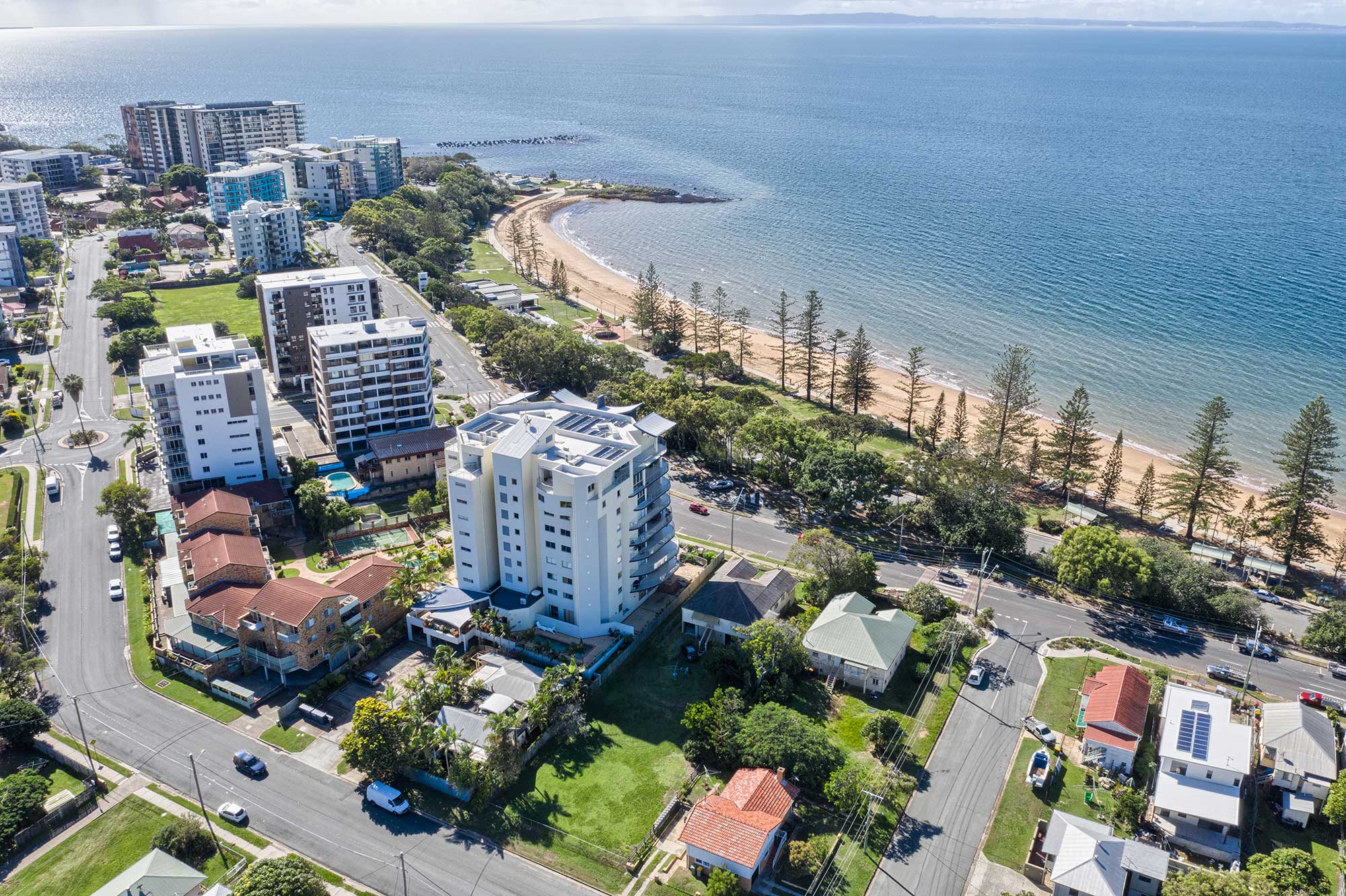
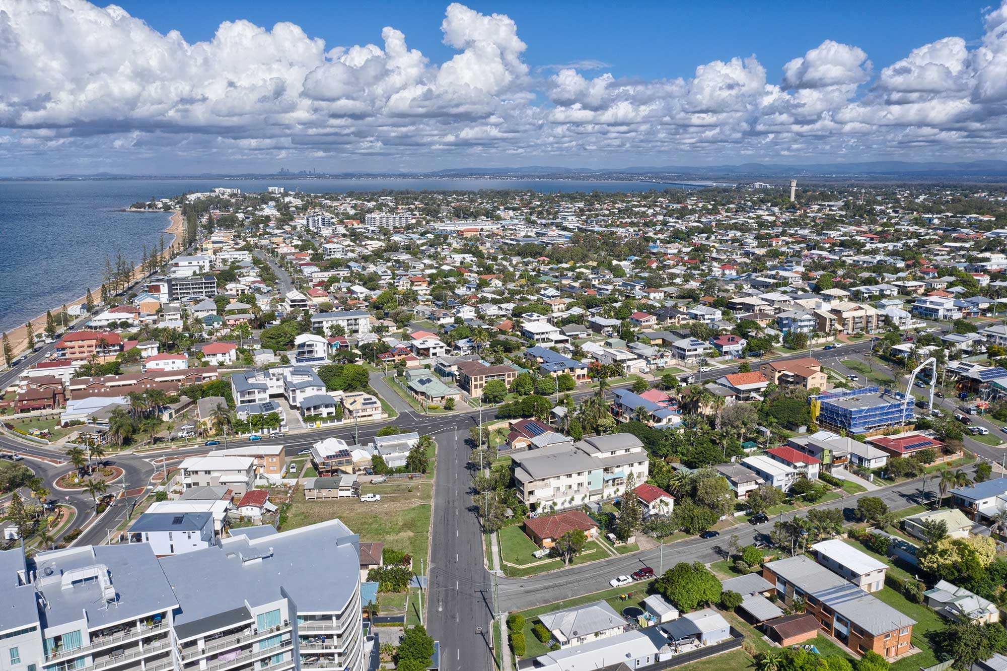
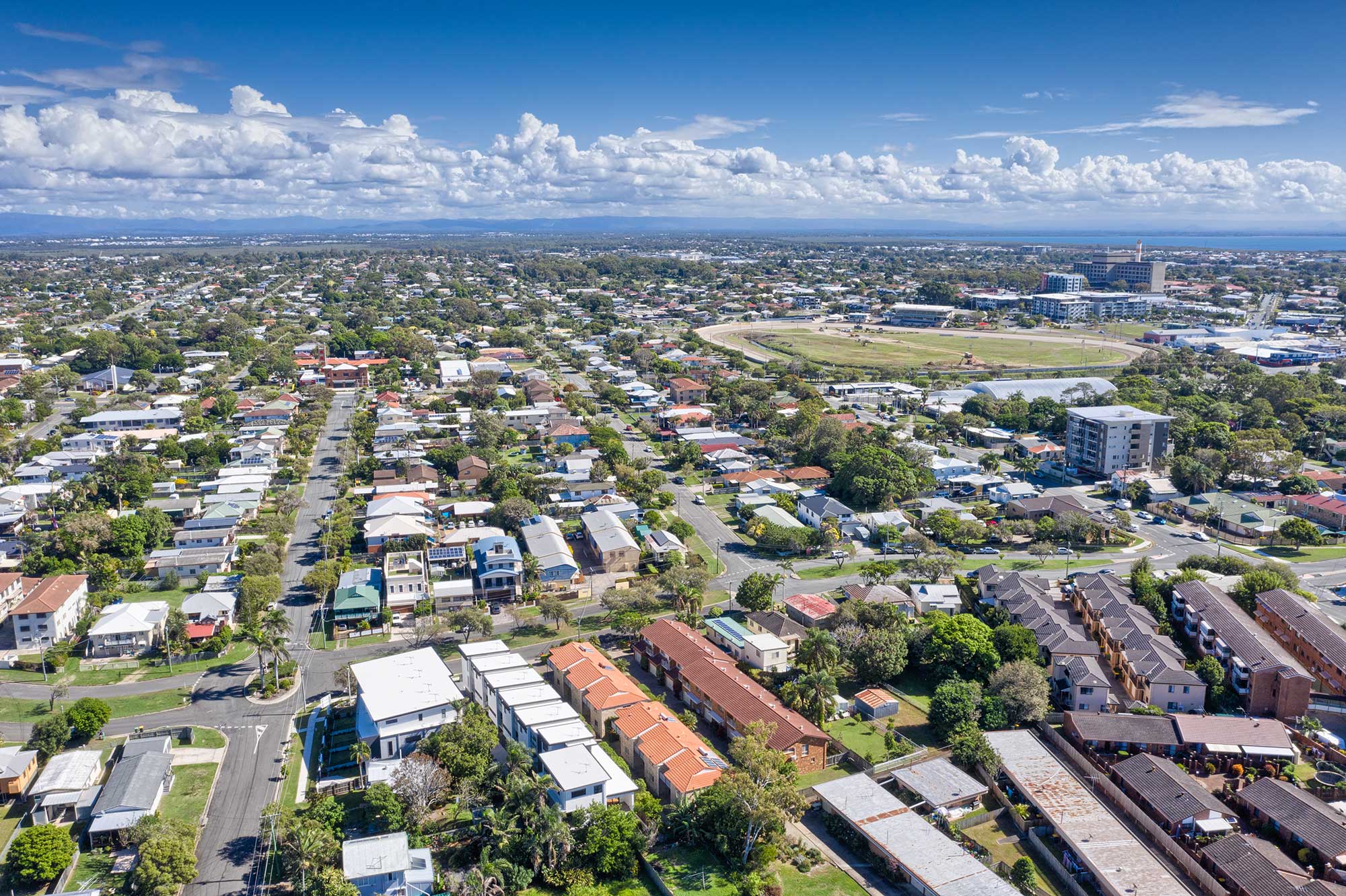
Drone photography at 37 Marine Parade for property development site
Drone photography at 37 Marine Parade for property development site - 70m looking south
Drone photography at 37 Marine Parade for property development site  - 70m looking west

360 Drone Panorama

Capturing a 360 drone panorama above the development site at 40 metres in the air.

More Blog Posts

Drone video & photography captured around Brisbane and South East Queensland

Drone photography acreage real estate Teviot Rd South Maclean

Drone photography of an extensive acreage property listing at 1051 Teviot Rd South Maclean

Drone video of concrete slab pour at Augusta State School

Drone video, photography and 360 degree panoramas of the second stage of the concrete slab pour at Augusta State School using the Mavic2Pro drone

Drone video of construction at Augusta State School

Drone video of construction @ Augusta State School Capturing construction video of a large concrete slab being poured for a future classroom at Augusta State School, South of Brisbane DroneAce was on site from 6AM to 4PM to capture drone video and drone...

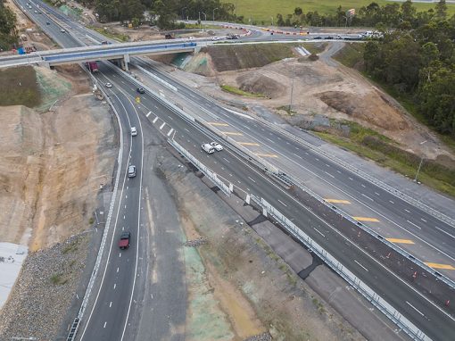
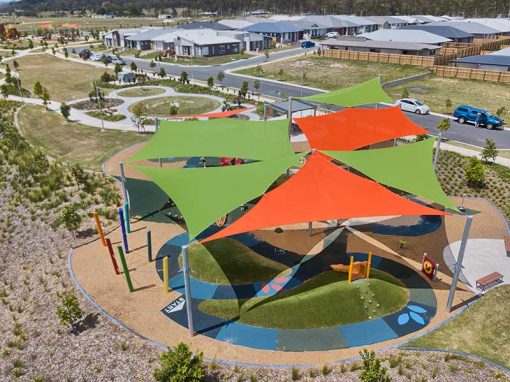
Aerial Photography at Brays Rd Griffin of Master Planned Estate

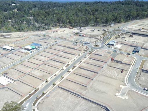
Drone photography captures the layout and location of a new housing development project at Griffin.

Drone Mapping

What is Drone Mapping Drone mapping is using a camera equipped fixed wing or rotary wing drone also known as a  UAV or UAS in conjunction with an autonomous flight controller application on a tablet, smartphone or laptop to acquire data via a sequence of images...

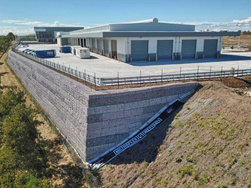
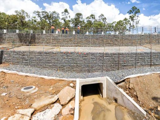
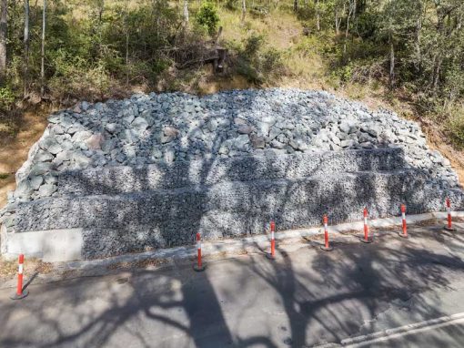
Aerial Photography Concrib Gabion Wall 17 Mile Rocks, Parklands Brisbane

Flying the MavicPro drone around a gabion wall constructed by Concrib Pty Ltd at a park at 17 Mile Rocks.

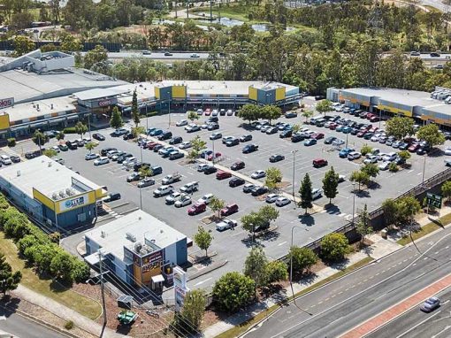
Drone photography for Southport shopping centre

Dusk drone photography for 501 Upton St Southport shopping centre

- RECENT PROJECTS -

Drone photography & drone video for architecture, engineering and construction business branding
After Drone Video & Photography?
Contact DroneAce!

Call 0404 840 001 or email DroneAce today and inquire how we can help you promote your business with attention grabbing drone photography and video.

error: Alert: Content is protected !!